Looping Back in Beaver Valley : Eugenia to Vandeleur
Looping Back in Beaver Valley
Walking in Circles on the Bruce Trail
Refreshed from a snug night in a comfortable bed we awoke early this morning and enjoyed a magnificent and filling breakfast at the inn. The logistical realities of the remainder of the Beaver Valley Section mean that we now face a decision. We have just over 60 kilometres to cover to both the end of this section and the only authorized BTC campsite in Rocklyn Creek Management Area. Practically, this means that we would likely have to wild camp twice more in Beaver Valley, a practice that is strongly discouraged by the Bruce Trail. As such, to limit the number of occasions we need to wild camp, we have decided on another course of action. Today we chose to do a short trek which saw us push some 16-18 kilometres forward on the main trail from Eugenia to Hogg’s Falls and back to the crossroads of Vandeleur, before then following the Campbell’s / Graham’s Hill Side Trail across the valley on a 6-7 kilometre loop back to the town of Eugenia..jpg)
History of Eugenia Ontario
With our day packs readied and our heavy camping gear left in our room, we set off back to the Bruce Trail, navigating through town to the Eugenia Soldiers War Memorial and today’s starting point. The town of Eugenia purportedly was surveyed and settled in the 1850s, with both the village and nearby natural wonders being named after Princess Eugenie, the wife of Napoleon III. Throughout the mid-nineteenth century, this area underwent a quick period of growth after prospectors arrived chasing rumours of gold. Dozens of claims were struck throughout this area as a result of this movement, but unfortunately,y nothing was ever discovered beyond a large deposit of iron pyrite, or fool’s gold.
Regardless, the region continued
to develop, and by 1870 a number of mills had opened and were operating along
the Beaver River. The community of
Eugenia soon included trade shops (blacksmiths and carpenters), stores,
churches, and a school. Unfortunately,
this expansion was soon halted when regional railway development bypassed the
Beaver Valley. Fortunately, this led to
the transformation of this locality into a quiet town which is at present a
popular tourist destination owing to the natural beauty of Lake Eugenia and
Eugenia Falls, as well as the proximity of local ski resorts throughout Beaver
Valley and the Bruce Trail.

Eugenia Falls and the Cuckoo Valley

Entering the Conservation Area from the town we were soon at Eugenia
Falls, a 30 m waterfall, which is the tallest in the region. Set amid a
stunningly beautiful forested natural area, this waterfall, which is fed by the
Beaver River, drained into a basin below in the Cuckoo Valley. According to oral histories and early
accounts by European settlers, this region is so named because of the
proliferation of cuckoo birds and their nests here. Seeing or even hearing a Yellow-billed or
Black-billed Cuckoo would have made an exciting addition to our trek today, but
sadly we didn’t have any such luck.
.JPG)


Following the roadway for a short distance, we discovered a sign noting that we were due to pass through a maple farm. Turning off the road, we began to slowly climb back up the escarpment through a sugar maple stand, which – as evidenced by the taps in the trees – was the property of the Beaver Valley Maple Farm. We soon reached the summit, a climb made easier by not having backpacks on, and crossed an open grassland meadow. Unfortunately, (especially on the Bruce Trail) what goes up must come back down – and vice versa – and often repeatedly, and in quick succession. As such, the next couple of kilometres saw us first ascend and then descend, before once again climbing out of the marshy creek valley to an open field, before heading downhill along an abandoned logging road into another valley.
Hogg’s Falls
After about 7 km of hiking, and a ton of effort, we began our approach
to Hogg’s Falls. There we navigated
through a dense but open confer forest along a wide and well-used public
trail. Traversing this area the Bruce
Trail crossed an open clearing, wove along the landscape, and eventually led us
to cross Lower Valley Rd before bringing us to Hogg’s Falls. Unlike Eugenia Falls, which was exceedingly
tall, Hogg’s Falls was a short but wide cascade. Situated in a secluded hollow, it was a
beautiful location. Hogg’s Falls was
named for William Hogg, a member of the powerful Hogg Family who resided in
Victorian Toronto. In the 1870s, William
Hogg settled in this area and established a mill.

Northbound: Hogg’s Falls to Vandeleur
After
trekking south along the eastern ridge of Beaver Valley over the past couple of
weeks, we have now started north again along the western ridge of the valley.
We continue to be in awe of the rugged beauty in this area as we
navigated the western edge of the escarpment, circling the Beaver Valley. Over the next few kilometres, we continued the
process of descending and then re-ascending the side of the escarpment amid a
lush forest – a process that was made much easier without the weight of our
backpacks..JPG)
Lunch at Day’s End
Sadly, the trail too quickly emerged at the 12th concession, marking the end of our northern trek today. Climbing the wooden stile over the rough wood and wire fence, we were back on the gravel roadway.
Regardless, without our gear on us, there was little point in considering the “what ifs” of past decisions. Instead, we walked a few hundred feet west on the gravel roadway to the BTC parking area, where we sat off the road and enjoyed the lunches which our hosts had made for us this morning. Half an hour later we set out from the parking area near the intersection of Vandeleur.
Looping Back: The Eastward Journey
This morning, given the nature of the region and the challenges of camping along the Bruce Trail, we had made a hard choice. With no viable camping place in the 60 kilometres between Eugenia and Rockyln Creek, we had decided to take a short day on the trail with the hopes that it would allow us to move forward along the Bruce without the need to wild camp. Hence, having completed only 16-18 kilometres since setting out four and half hours ago, we turned east and took the Campbell’s / Graham’s Hill Side Trail. This pathway essentially crossed Beaver Valley on a quiet, narrow, gravel country lane that led us down a steep descent before re-climbing the eastern side of the escarpment.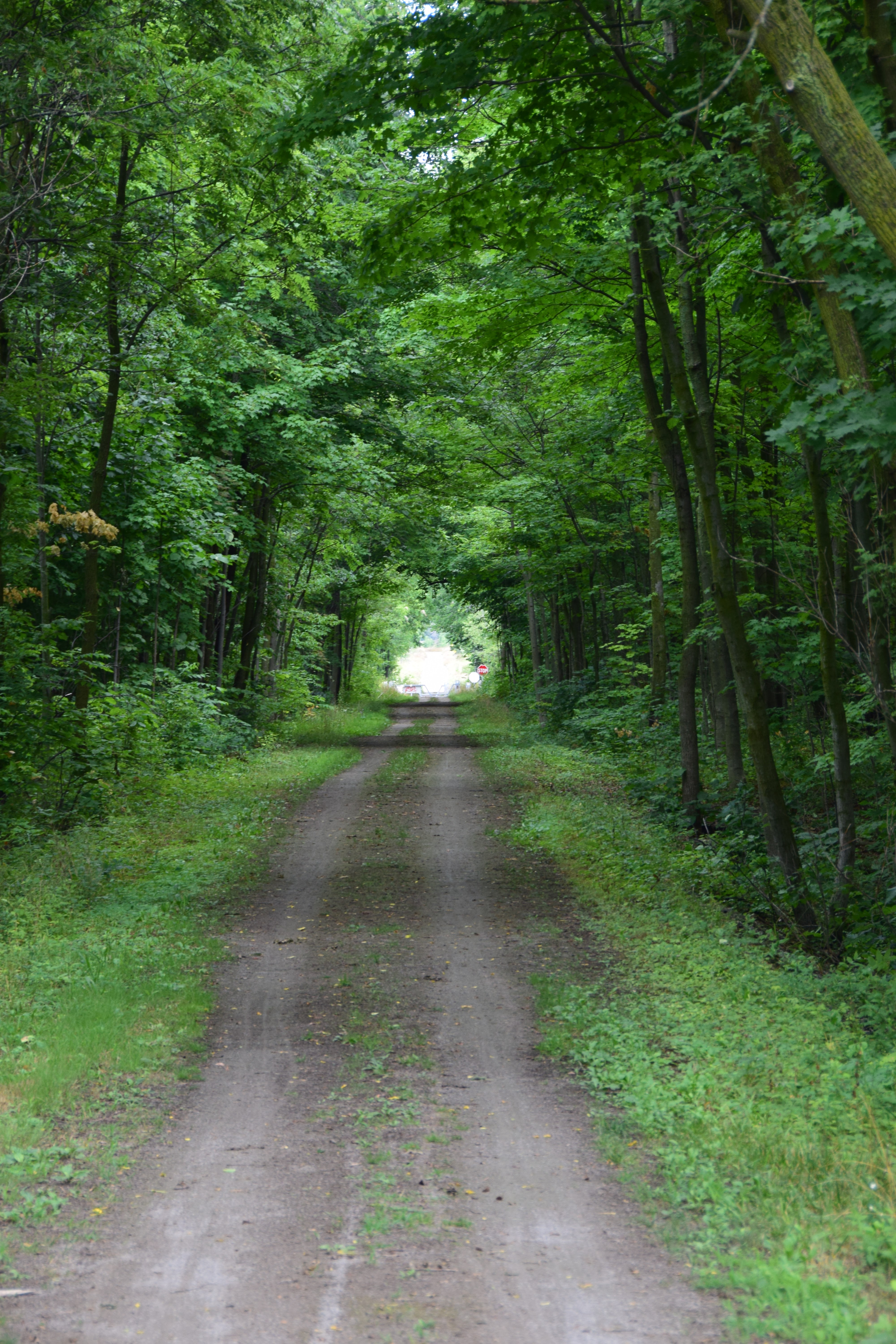
.jpg)
See you on the Trail!
Comments
Post a Comment